SAAF

Sensing and Accounting of Aquatic Floatables

Request a demo
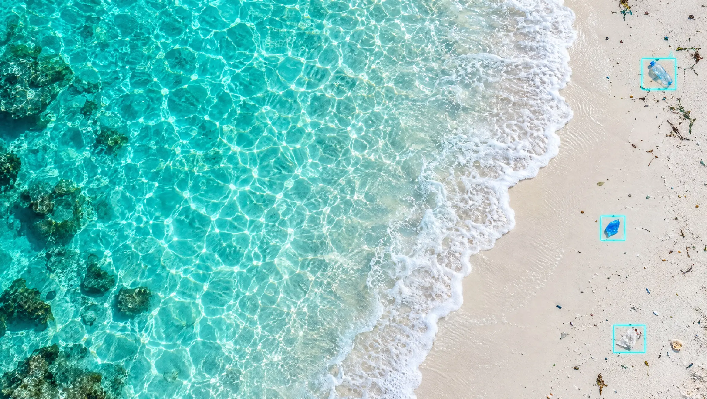
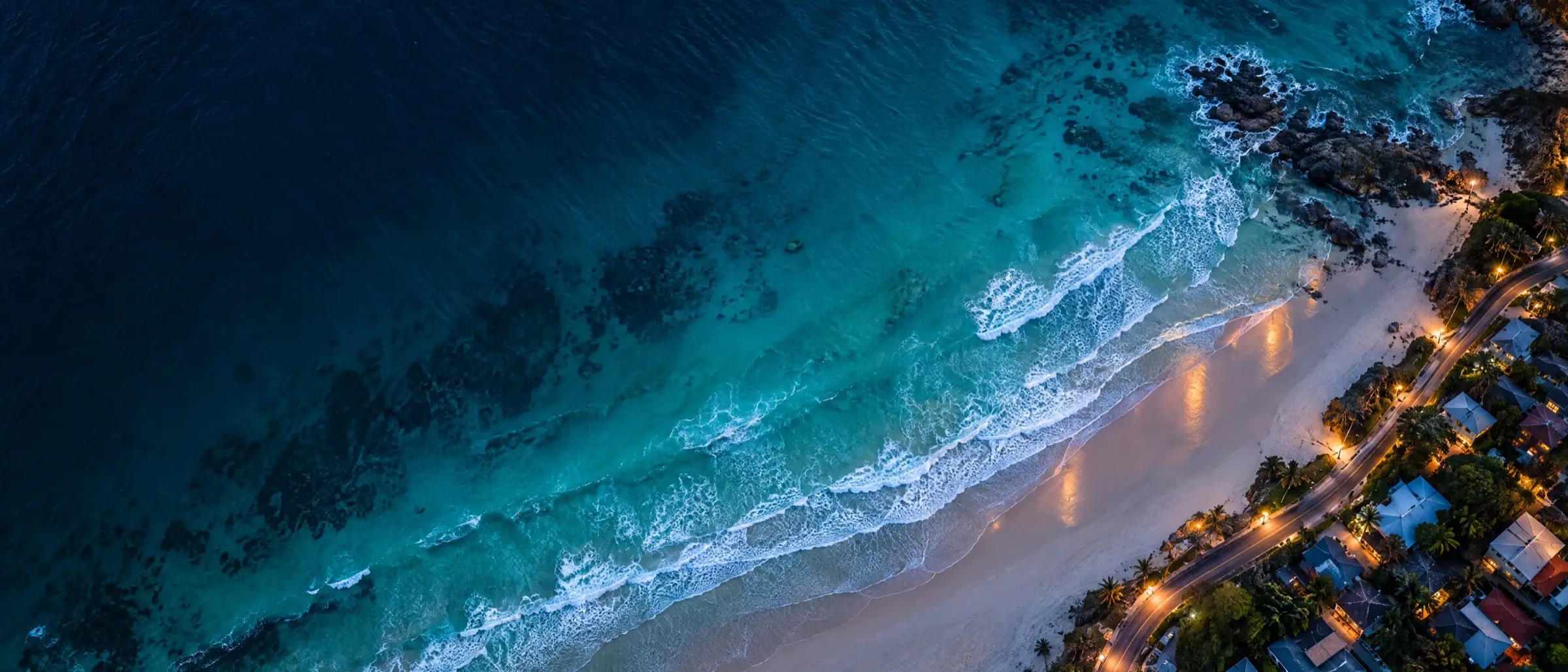
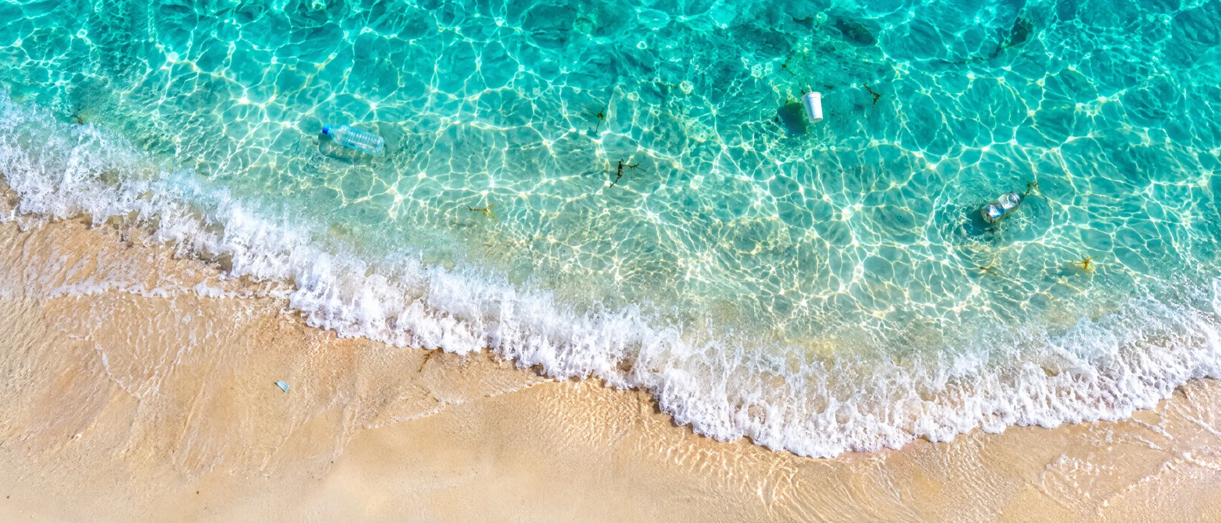
Aerial view straight down on turquoise shallows meeting pale sand, a few pieces of litter barely visible in the water

Sensing and Accounting of Aquatic Floatables · IIDA

We count the litterin the water, so itcan be cleared.

SAAF turns drone imagery of beaches and water surfaces into a verified count of the litter present — what it is, how much of it there is, and what it weighs.

Request a demo
  • Coastal surveys
  • Riverbank monitoring
  • Cleanup verification
  • Litter density mapping
  • Seasonal comparison
  • Policy evidence
  • 99.2% mAP@50
  • 6 litter classes
  • ~1 s per 4K frame
  • 33,555 hand-checked boxes
  • Count · footprint · mass
  • Same method every season

Most litter numbersare guesses.This one is measured.

SAAF is a measurement instrument, not a campaign. Nobody is asked to donate. The output is a per-class count, a footprint area and an estimated mass for a stretch of coastline, repeatable across seasons, so you can prove whether a cleanup worked.

99.2%
Detection accuracymAP@50 on a held-out test split
68.2%
Box tightnessmAP@50-95 — what size and mass ride on
33,555
Hand-checked boxesacross 3,816 aerial frames
60 px
Median objectin a 3840×2160 frame — the hard part
Read the full method
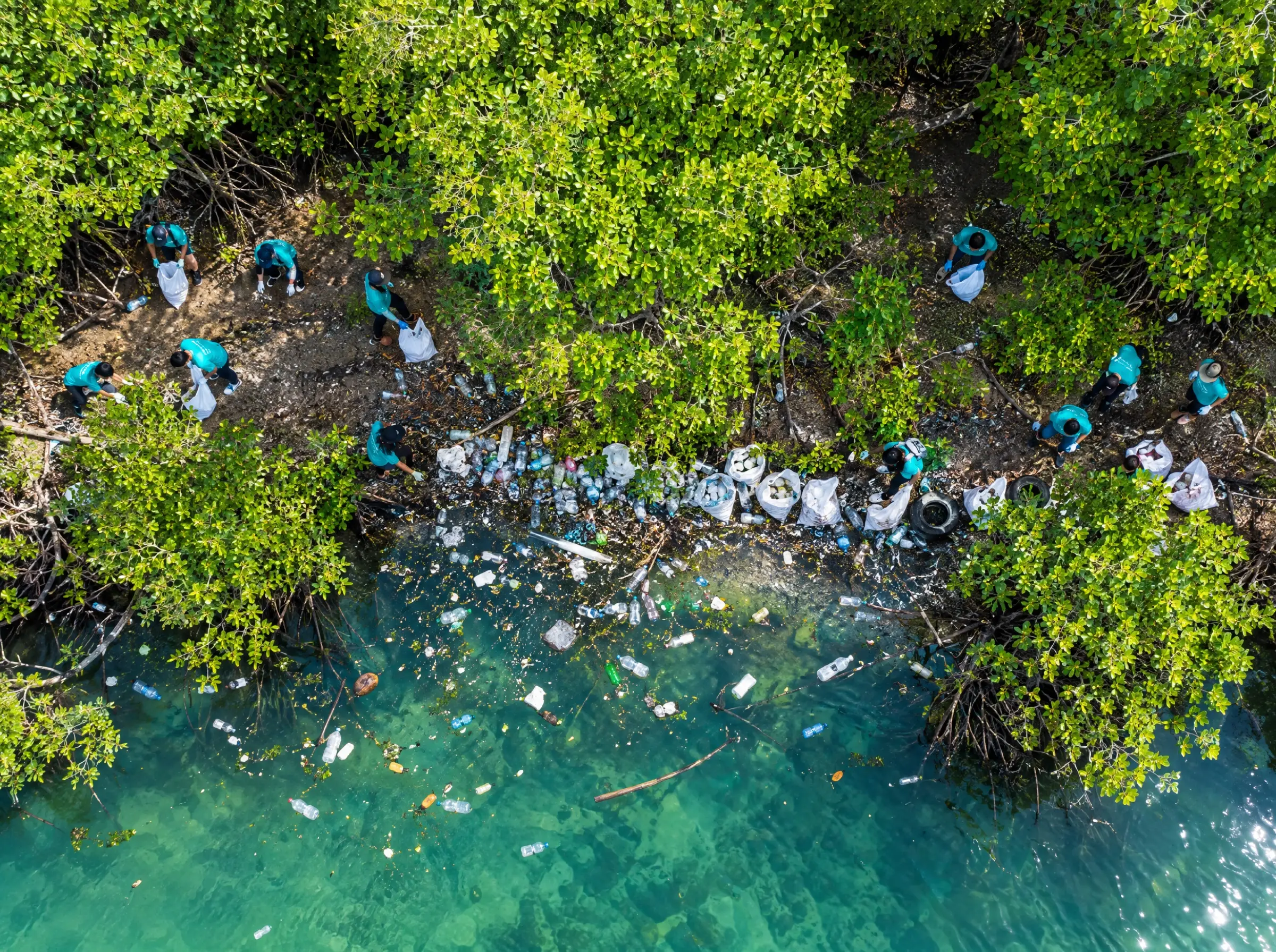
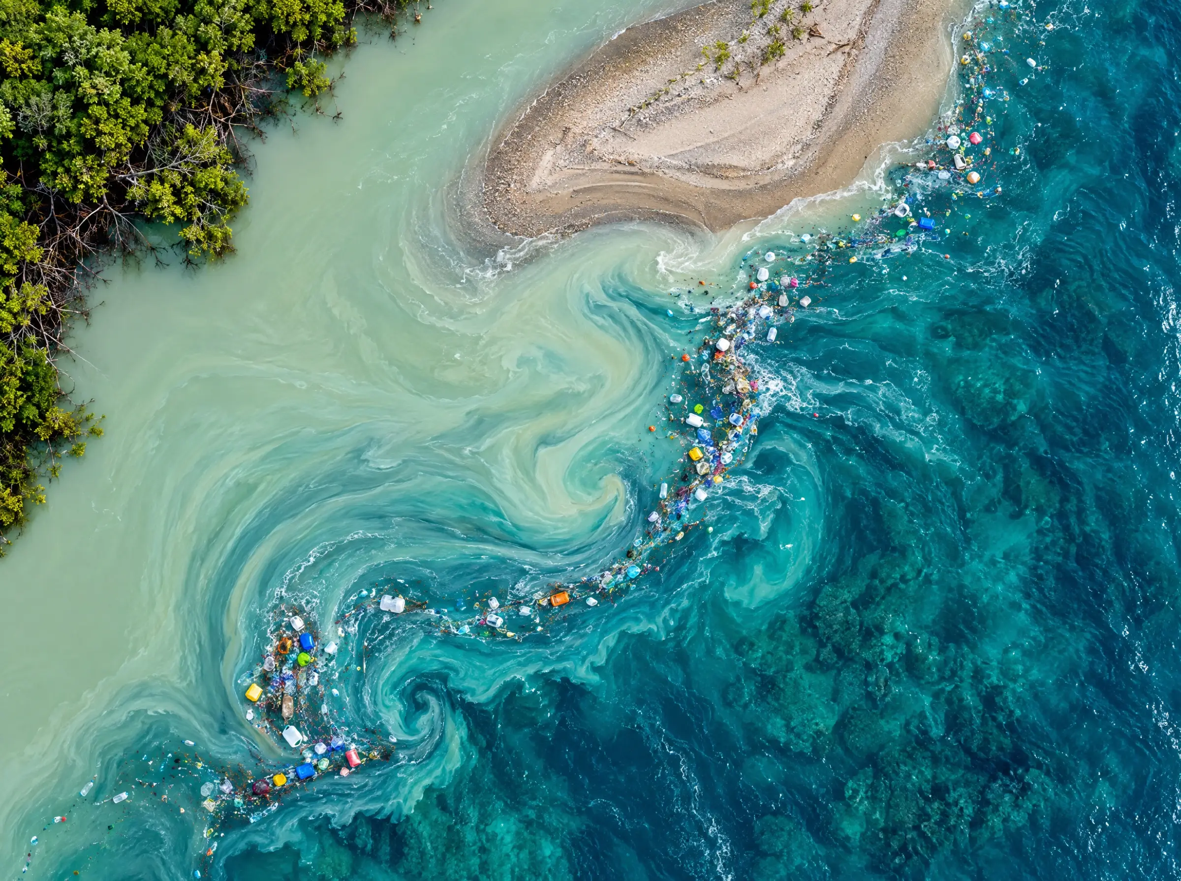
A raft of floating plastic gathered along the eddy line where a jade river meets turquoise sea, seen from above

00The problem

Litter collects where currents meet. Nobody counts it.

Cleanup budgets are set on impressions: a photo, a volunteer's estimate, a transect walked with a clipboard and multiplied up. Two people produce two answers.

river mouth · floating raft
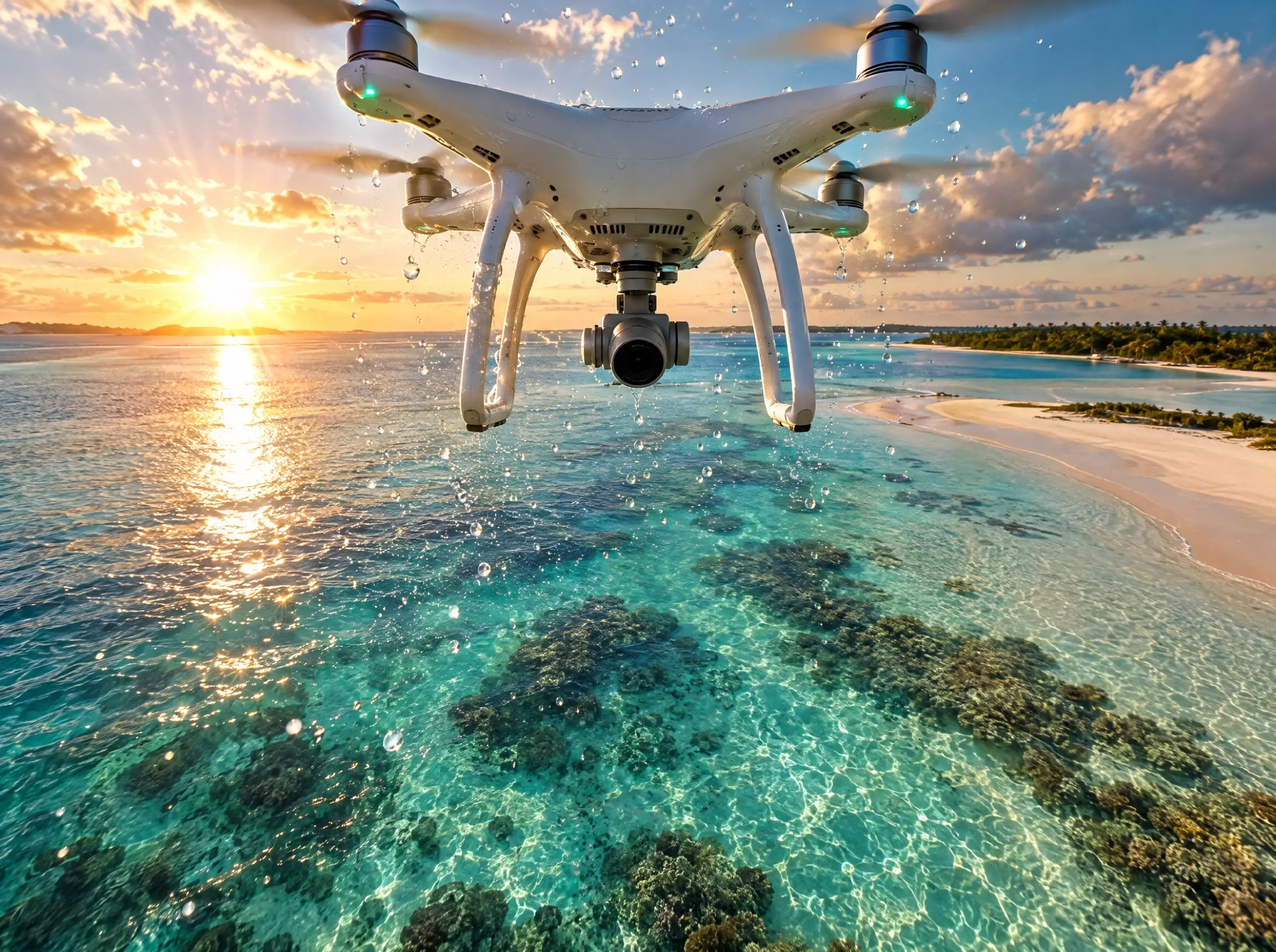
A consumer quadcopter hovering over a turquoise lagoon at golden hour, camera pointed straight down

01Fly the survey

An ordinary drone, a lawnmower pattern, 10 to 40 metres up.

No special sensor. A consumer 4K camera is enough, because altitude and focal length give the ground scale: every pixel is a known number of centimetres.

10–40 m · 3840×2160

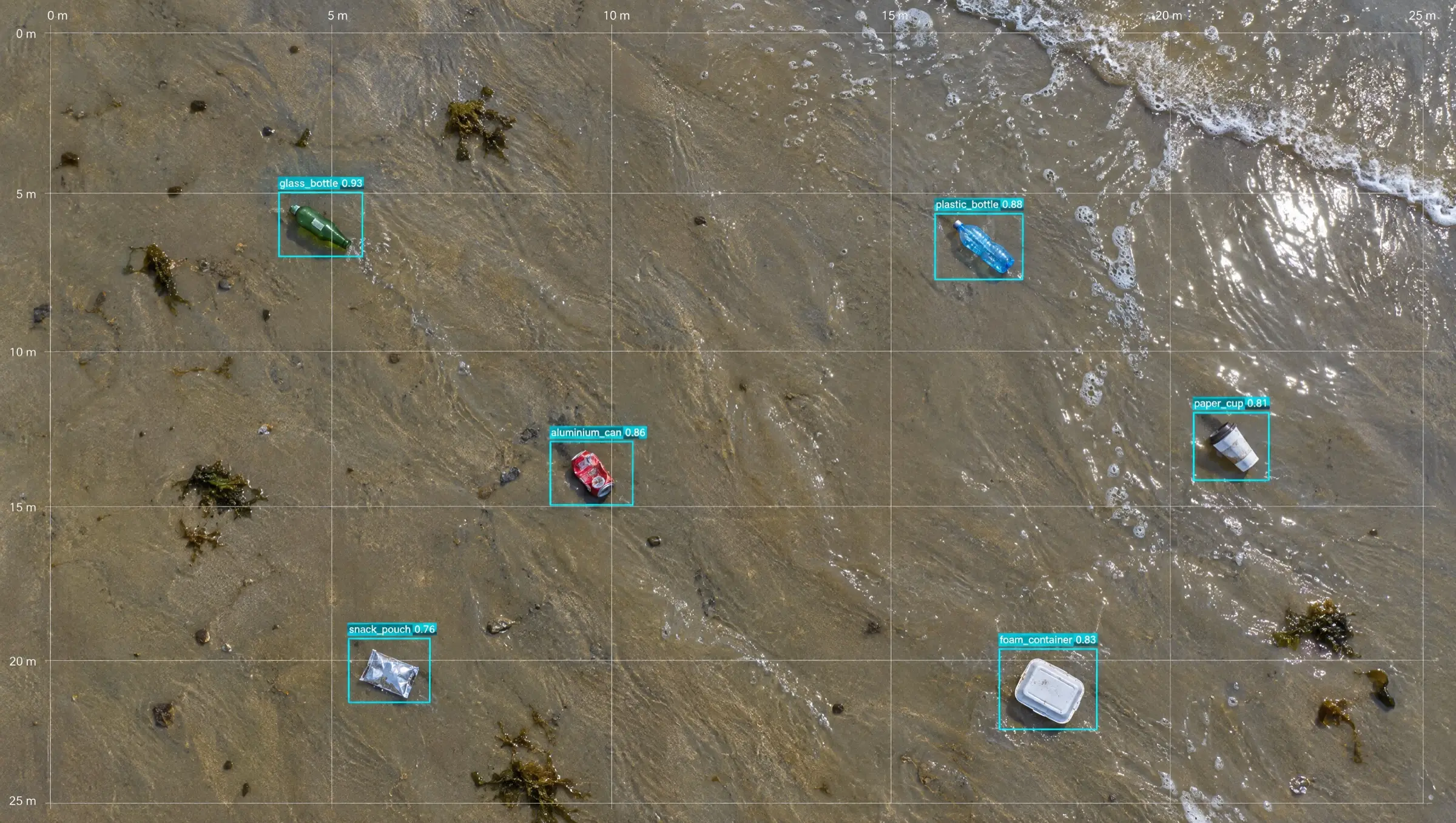
Aerial frame of a tide line with six small pieces of litter, each boxed and labelled by the model over a survey grid

02Detect and classify

Every frame is read. Every item is boxed, named and scored.

Six classes today: glass, plastic bottles, cans, takeaway cups, retort pouches, food containers. About a second per 4K frame, so a morning's flying is done by lunch.

6 classes · ~1 s per frame

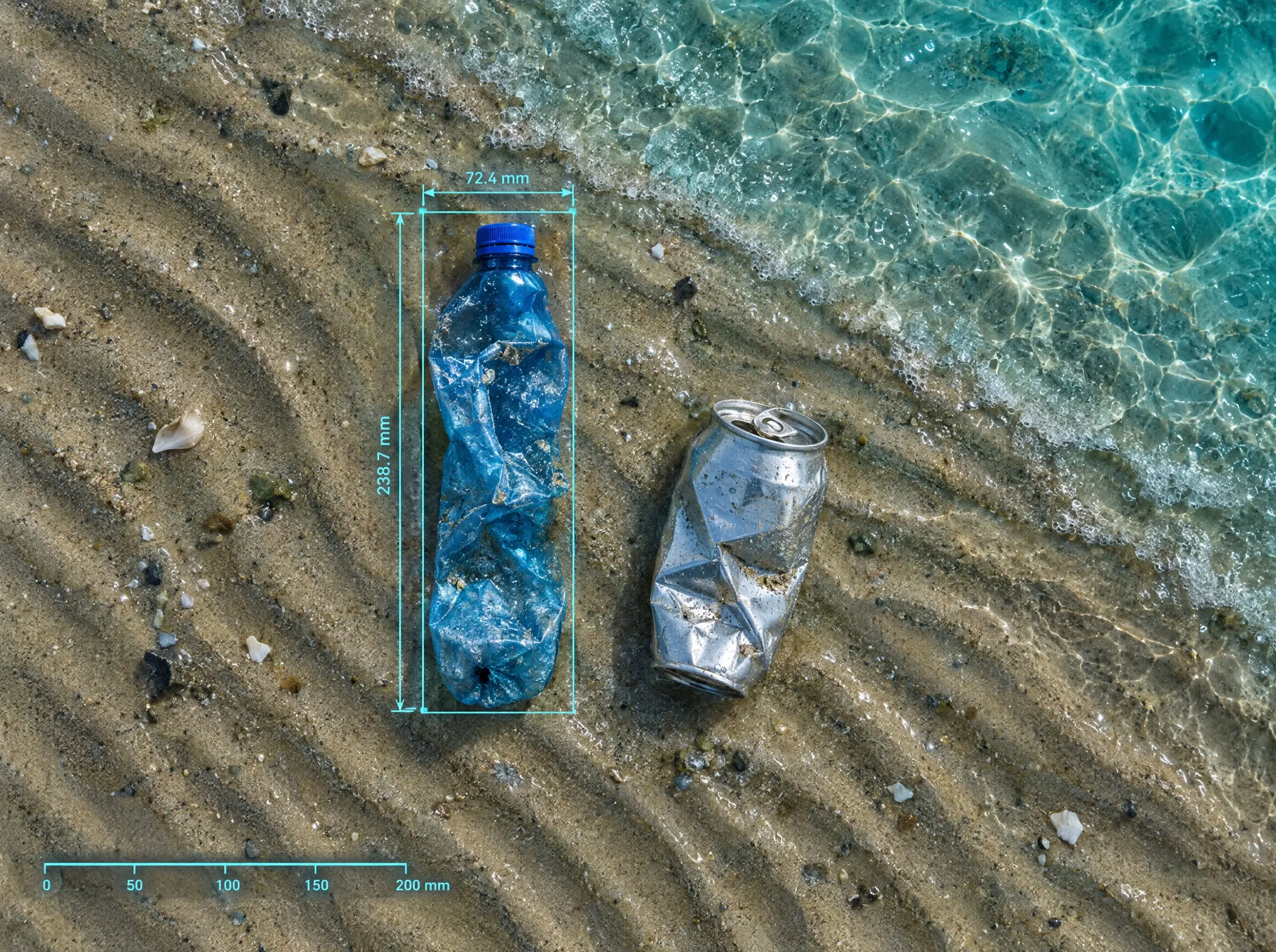
A crushed plastic bottle on rippled sand with precise dimension callouts and a millimetre scale bar drawn over it

03Measure and report

Boxes become centimetres. Centimetres become an estimated mass.

Box dimensions pass through the ground sample distance, then sourced reference weights. The result is an estimate, not a weighing, and it is reported as one.

count · footprint · mass

What the model sees

Drag to reveal what a person walks past.

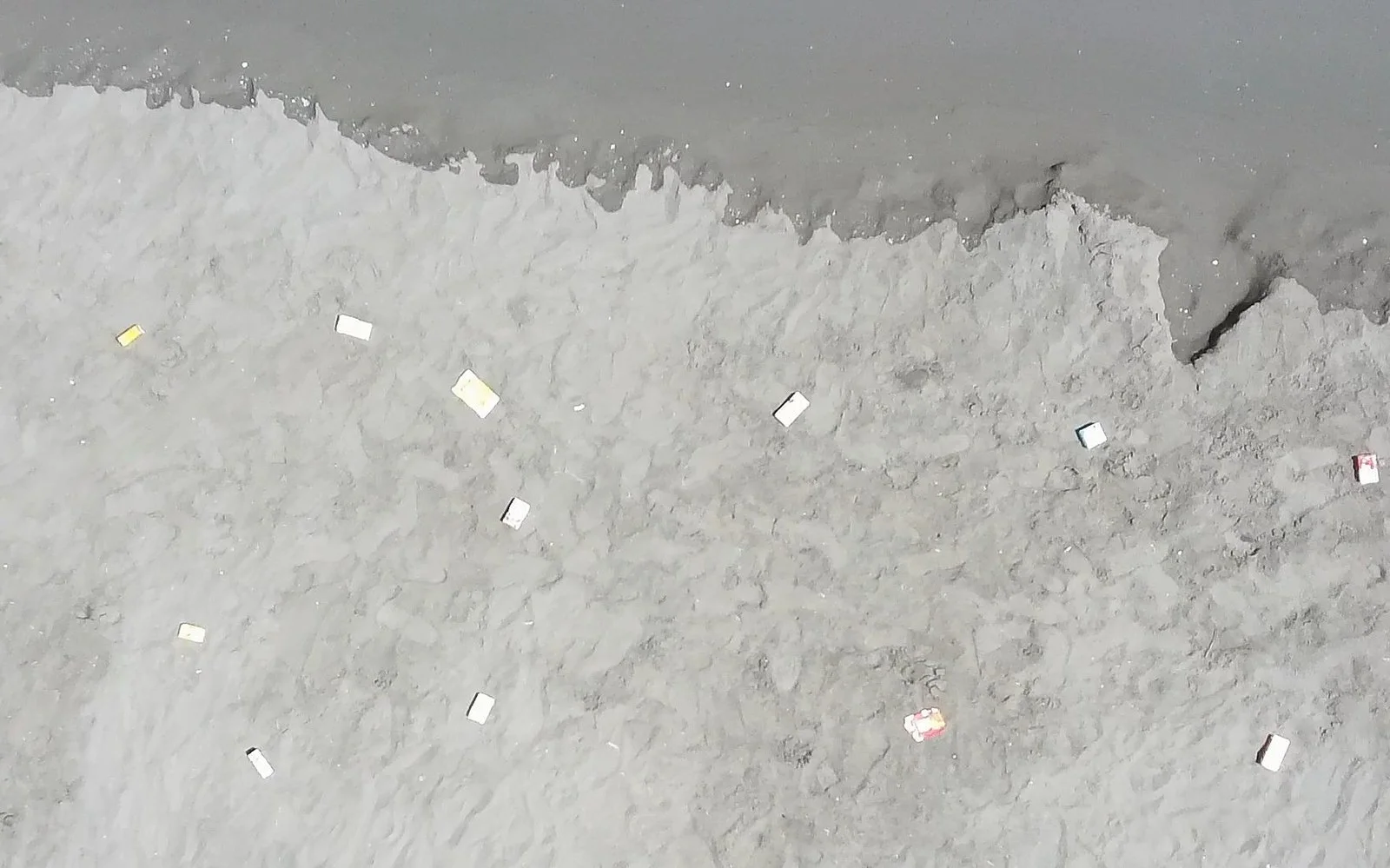
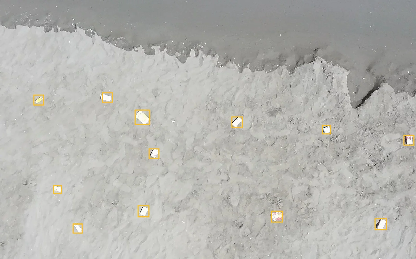
A real frame from our test split. 3840×2160, shot at altitude. Twelve pieces of litter, none of them obvious. Boxes are deliberately tight: a loose box inflates the area, and area is what the mass estimate is built on.

Raw aerial frame of a shoreline, litter barely visible against wet sandThe same frame with twelve pieces of litter individually boxed by the modelRaw frame12 detections

Why it is hard

The median object is 60 pixels wide in a 4K frame.

This rectangle is a 3840×2160 frame scaled to your screen. The small box inside it is a 60-pixel object at the same scale. That is what the model has to find, name and measure.

0, 03840 px2160 px1 frame · ~1 s60 px
median object
Half of everything the model finds is smaller than this.

Who it is for

Evidence, not an impression.

Questions

Straight answers.

Where there is a limit, it is stated. Mass is an estimate from reference weights, not a weighing, and the site says so everywhere the number appears.

01

What accuracy does the model reach?

99.2% mAP@50 and 68.2% mAP@50-95 on a held-out test split never used in training. mAP@50 says whether litter is found; mAP@50-95 says how tightly it is boxed, which is what the size and mass estimates depend on.

02

How is the mass of litter estimated?

Each detection's box is converted to real dimensions using the ground sample distance, derived from sensor width, focal length and flight altitude. Those dimensions are matched against published reference weights for each class of item. The result is an estimate, not a weighing, and it is reported as one.

03

What kinds of litter can it identify?

Six classes today: glass, plastic bottles, tin and aluminium cans, takeaway cups, retort pouches and food containers. New classes are added by annotating examples and retraining.

04

Does it work on rivers as well as beaches?

Yes. The model is trained on beach and water-surface imagery, so it handles shorelines, riverbanks and floating litter on open water.

05

What do I need to run a survey?

A consumer drone with a 4K camera, and the altitude and camera model used for the flight. Nothing else. Imagery is uploaded and processed after the flight.

See it runon your coastline.

One survey. Annotated frames and totals back. Then decide.

Request a demo